


Precision and Expertise Combined
At DroneScan Geo, we transform complex sites, damaged roofs, and hard-to-reach structures into clear, accurate, and actionable data. With roots in military precision and engineering expertise, we deliver surveys and inspections you can trust — fast, safe, and with true survey-grade accuracy.
Our advanced RTK/PPK-enabled drones and 4K-resolution sensors capture every detail that matters: high-quality imagery, precise measurements, 3D models, and detailed analysis that helps you plan, build, inspect, and manage with complete confidence.
From construction progress monitoring and volumetric analysis to full site surveys, roof inspections, and insurance evidence gathering — we provide the clarity you need to make better decisions, sooner.
Who We Are

Welcome to DSG.
Our mission is to deliver clear, trustworthy aerial data that genuinely helps people on the ground.
We turn complex sites into simple, actionable insight.
Our vision is to lead the future of aerial surveying- where clarity and precision come as standard.


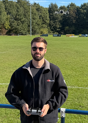
Meet the Team
We created DSG because we wanted to take the skills and values we learned in the military and apply them to help real people and solve real problems.
We're proud to bring a friendly, professional and reliable approach to every project- backed by accuracy and work ethic we've carried throughout our careers.


Services


For more details on any individual service, feel free to contact us.
Reach us by email, phone or submit an enquiry and well get back to you promptly.


